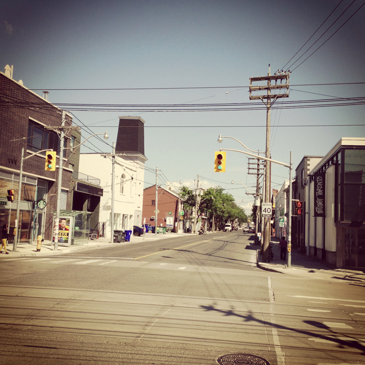
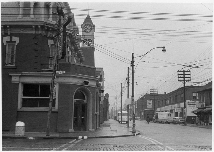
Here’s a relatively dull image of the foot of Ossington Avenue at Queen Street West. You might recognize that some of the buildings still remain (even in part). Though it is now becoming the gateway to a great dining strip, it certainly pales in comparison to the charm it once had.
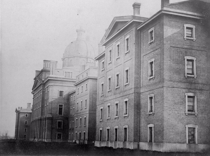
 Once called Dundas Road, Ossington served the community of workers from the many local factories as well as the Provincial Lunatic Asylum. Today, sounding more like a night-club than a hospital, the Provincial Lunatic Asylum which once sat on the south side of Queen Street West is now called the Centre for Addiction and Mental Health (CAMH). While the original parameter wall still stands on Shaw St. and along the rear wall as well as some of the grounds buildings, there is nothing left of the original building. Though the new buildings of CAMH are utilitarian and dull compares to the once-majestic (on somewhat ominous) Provincial Lunatic, what we’ve lost in it’s beauty of architecture, we’ve gained in social understanding and tolerance.
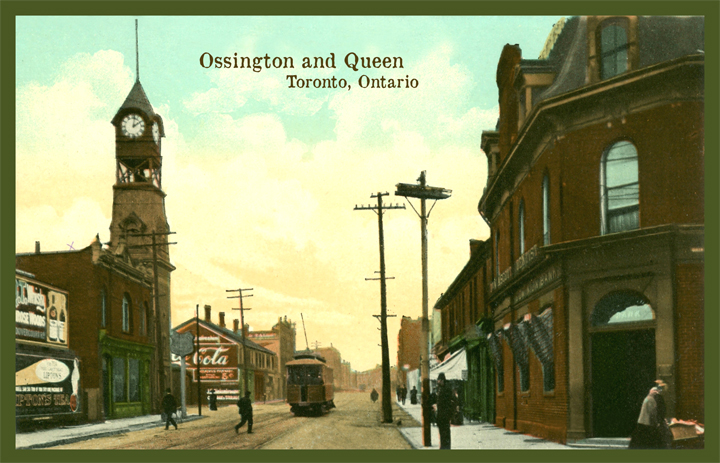
This view is from Queen circa 1909 showing the original clock tower of the original Dundas Road fire hall. Seen also is a Toronto Railway Company streetcar travelling south. In 1921 the TRC joined with the Toronto Civic Railways to become the Toronto Transit Commission, or TTC.
At this time Ossington Avenue was called Dundas Road. When the Toronto city limits only reached as far west as Bathurst Street, Dundas Street West ended there at it’s far western end. Arthur street was the continuation west and began a short distance north from Dundas. Today, Dundas curves north east of Bathurst to connect with the former Arthur Street.
Note the Painted Coca Cola wall. This photo was taken within 15 years of the very first wall painted with a Coca Cola advertisement.


